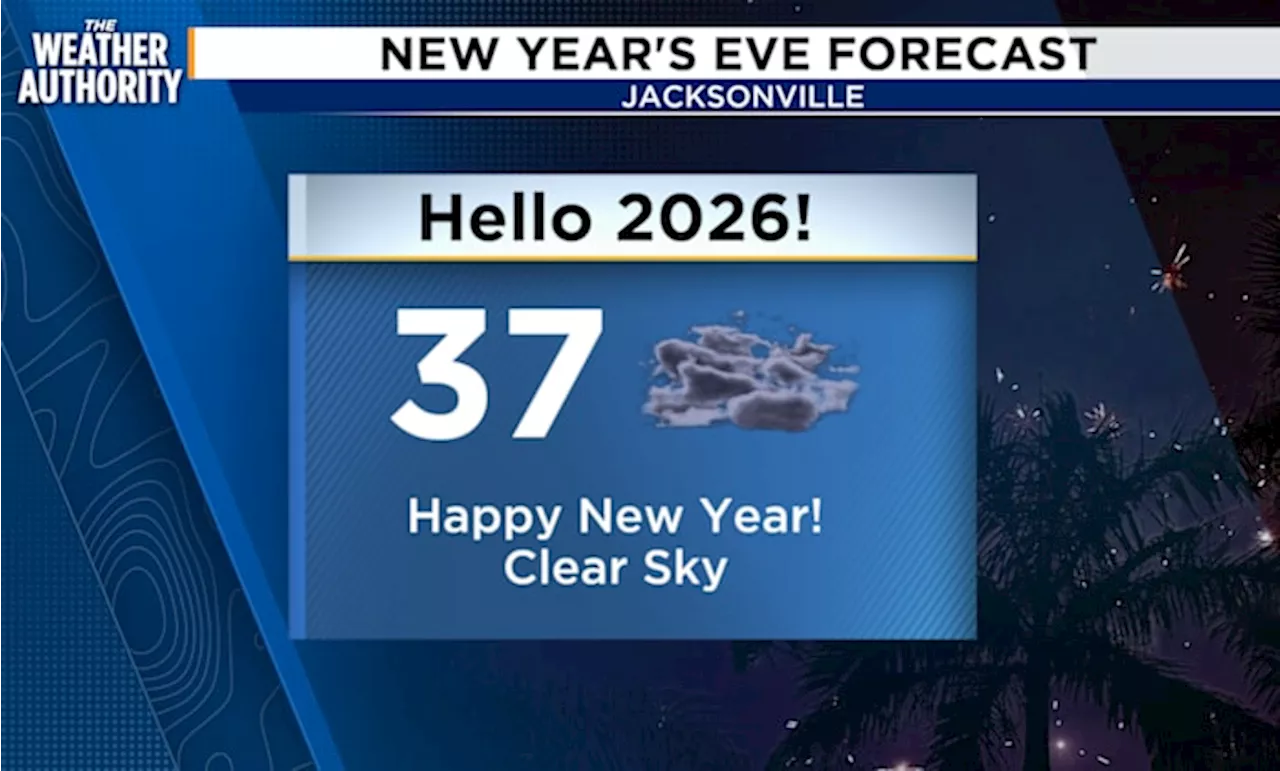
UPDATE: A significant cold snap is set to hit Southeast Georgia and Northeast Florida tonight, with a Freeze Warning and Frost Advisory in effect starting at 3 a.m. through 8 a.m. Thursday. Clear skies this evening will lead to a rapid drop in temperatures, prompting residents to take immediate precautions.
After a relatively warm afternoon, overnight temperatures are projected to plunge, particularly in inland areas where sensitive vegetation could be at risk. Residents are urged to protect plants, pets, and vulnerable individuals from the biting cold.
The National Weather Service warns that while temperatures east of I-95 may remain above freezing, frosty conditions could still pose a threat to crops and landscaping. Winds from the northwest will also contribute to a slight wind chill, making it feel even colder.
Friday is expected to bring a brief respite with warmer afternoon temperatures ahead of another cold front, which may introduce showers and isolated thunderstorms to the region on Saturday.
Local meteorologist Michelle McCormick, part of the News4Jax Weather Authority team, emphasizes the urgency of this weather shift. “Protecting sensitive plants and pets is crucial as we face one of the coldest nights of the winter,” she stated.
This chilling forecast comes on the heels of a series of tragic pedestrian accidents in Jacksonville, raising community concerns about safety during adverse weather conditions.
Stay tuned for updates as this weather system develops, and ensure you and your loved ones are prepared for a chilly night. For continuous updates, follow local news channels and weather advisories.