UPDATE: The Bay Area is bracing for one final wave of rain today, January 15, 2024, as weather forecasters confirm that precipitation will continue into the night, causing potential disruptions.
Authorities report that the rain is expected to bring light to moderate snow in the Lake Tahoe area, along with a winter storm warning in effect for the northern Sierra Nevada, Mount Shasta, and the Siskiyou Range. This weather system is adding to the already challenging conditions from recent storms, which have left parts of California grappling with flooding and high tides.
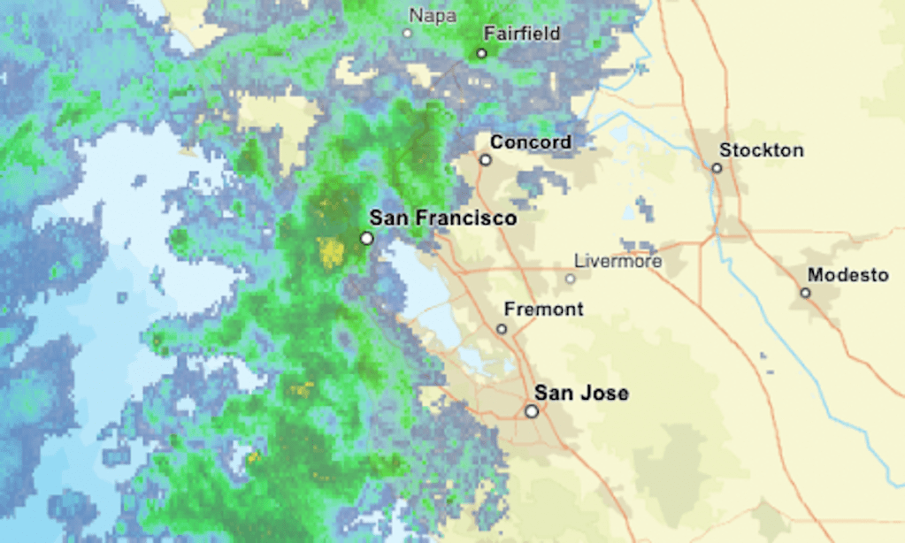
The latest radar map shows current areas of precipitation, with intensity levels marked in green, yellow, and orange. As rain continues to fall, residents should prepare for possible minor flooding, especially in low-lying areas.
This storm is projected to give way to a much colder and drier weather pattern, bringing much-needed relief after a series of wet days. However, the transition could present challenges, as the ground remains saturated from previous rainfall.
“Residents should remain vigilant as this final wave of rain could lead to unexpected flooding in some areas,” said a spokesperson from the National Weather Service.
As the rain subsides, the Bay Area can anticipate a significant drop in temperatures, further complicating conditions for those still recovering from the earlier storms. Looking ahead, officials urge residents to stay informed about any updates or warnings as the situation evolves.
Stay tuned for further updates on the weather and its impact across the Bay Area. The community’s safety is the top priority as we approach a shift in weather patterns.