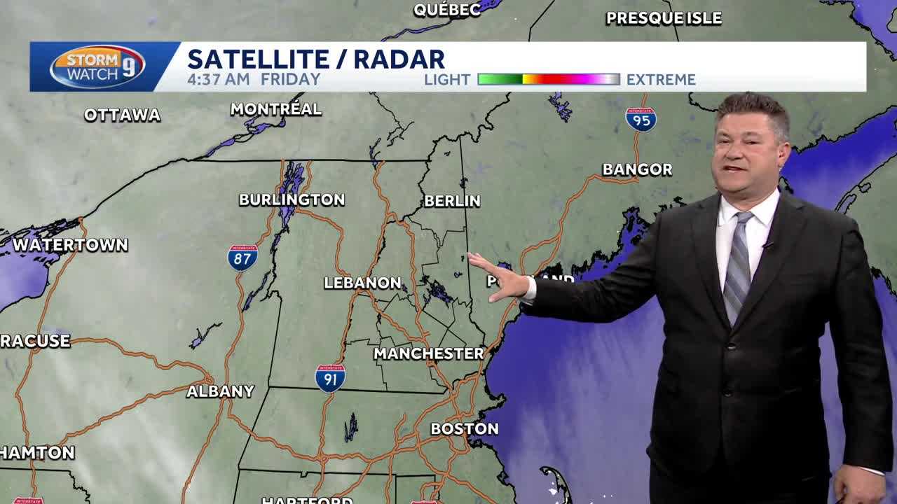
URGENT UPDATE: A bitterly cold Christmas night is giving way to a significant weather shift as light snow is expected to blanket parts of the region tonight. The latest forecast indicates potential snowfall from 10 PM to 6 AM, primarily impacting areas south and west of Laconia.
Today, temperatures will remain frigid, ranging from a chilling 10°F to 22°F across the state. While winds are expected to be lighter than previous days, the cold will still be a major concern, prompting advisories for residents to stay indoors if possible.
As we move into the weekend, the weather will take another turn. Expect skies to clear quickly after the light snow, but temperatures will stay low, with highs barely touching the 20s.
On Sunday night, a new weather system will move in, bringing a wintry mix that includes sleet and freezing rain. This transition will make travel conditions hazardous, especially overnight into Monday morning. Authorities warn that roads could be extremely slippery, so drivers should use caution and prepare for delays.
By Monday afternoon, conditions are expected to improve as temperatures rise and change the wintry mix to rain for most areas. However, the morning commute could be severely impacted, so plan ahead.
Stay tuned for updates as this developing weather situation unfolds. Residents are encouraged to monitor local forecasts and heed any travel advisories issued by officials.